Leaked map reveals chronic mercury epidemic in Peru

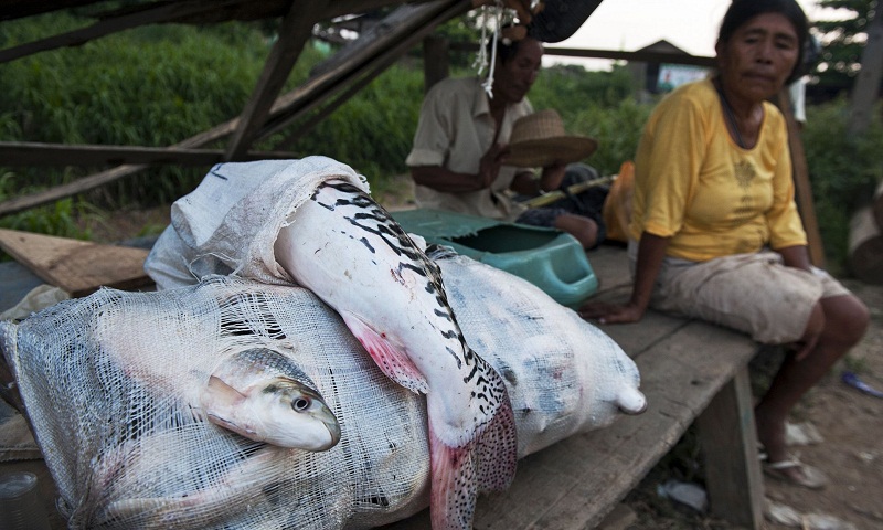
Ask about the fish in restaurants in the centre of Puerto Maldonado, the biggest town in Peru’s south-east Amazon, and you’ll hear all kinds of things. Some people will shake their heads and say there isn’t any fish on the menu “because of the contamination” or “out of protocol”. Others might say there is fish available, before sometimes hastily clarifying that it comes from farms along the Inter-Oceanica Highway running to Brazil, or from the Pacific coast, or even, according to one chef, all the way from Vietnam. Why such problems with the fish in this part of the Amazon? Answer: alluvial gold and the mercury required to extract it. The gold-rush in the 8.5m hectare Madre de Dios region began in the 1980s and, by 2012, miners had destroyed more than 50,000 hectares of forest, effectively dumping 100s of tons of mercury into the rivers while doing so. In May this year Peru’s outgoing government announced a pathetic 60-day “declaration of emergency”. An image of a unpublished map obtained by the Guardian, based on “preliminary results” from studies of local inhabitants by the Duke Global Health Institute in the US, provides some idea of how widely-spread and severe the mercury contamination is across Madre de Dios. Arguably the map’s most alarming revelation is that the most contaminated area of all is upstream from the mining: the stretch of the River Madre de Dios between towns called Boca Colorado and Boca Manu, a significant part of which is in the buffer zone of the Manu national park, which Unesco calls the most biodiverse place on earth. “It is noteworthy that some areas with high averages of mercury are upriver from the mining zones,” states the map, which was shown to Health Ministry officials earlier this year. The map suggests the second worse-hit area is inside the Manu park itself, immediately upriver from Boca Manu, along the River Manu’s left bank. The right bank is affected too. William Pan, the study’s lead researcher, told the Guardian “we didn’t sample people in Manu national park”, but explains the map on the basis that his teams have sampled several communities “along that bend of the river (Rio Manu/Rio Madre de Dios)” and “the map smoothing method creates a 10km buffer around the study sites and the exposure is extrapolated”.

